" It's a big and beautiful world. Most of us live and die in the same corner where we were born, and never get to see any...
Read More
Pre-processing and Geometric Correction of a RADARSAT Imagery Using SNAP
Pre-processing and Correction of RadarSAT Imagery Using SNAP Learning Outputs: 1. Pre-processing of RadarSat image 2. Enhancemen...
Read More
Surface Temperature Analysis of a Landsat Thermal Imagery Using Erdas Imagine and ArcMap
Surface Temperature Analysis of a Landsat Thermal Imagery Using Erdas Imagine and ArcMap Equations: Radiance = ((LMax - Lmin)/(QC...
Read More

European Space Agency Gives Away One-Year License for EO Satellite Images
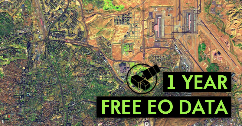
1 Year Free EO Data If you want to have free satellite images and other EO satellite products for free, you can get a free license fo...
Read More
Subscribe to:
Comments
(
Atom
)

