" It's a big and beautiful world. Most of us live and die in the same corner where we were born, and never get to see any...
Read More
Home / GIS
Showing posts with label GIS. Show all posts
Showing posts with label GIS. Show all posts

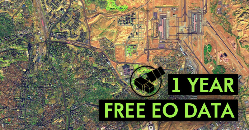
European Space Agency Gives Away One-Year License for EO Satellite Images
1 Year Free EO Data If you want to have free satellite images and other EO satellite products for free, you can get a free license fo...
Read More
Bengal Institute Celebrates GIS Day 2017
Bengal Institute Celebrates GIS Day 2017 More than hundred participants from different institutional background, young professionals ...
Read More
Raster File || Anatomy of a Raster File
Written By: Nurullah Opu Reference Lynda.com - ArcGIS Essential Training by Adam.Wilbert
Read More
Shapefile vs. Layer File
Shapefile vs. Layer File Reference GeoMindz.com
Read More
Vector Data || Anatomy of a Esri Shapefile
Vector Data || Anatomy of a Esri Shapefile Reference Lynda.com - ArcGIS Essential Training by Adam.Wilbert
Read More
MyGeodata Cloud || An Online Platform To Share And Convert Your GIS Data
MyGeodata Cloud || An Online Platform To Share And Convert Your GIS Data MyGeodata Cloud || A Place Where Your GIS Data Lives Do...
Read More
Download and Convert OpenStreetMap (.OSM) Data into Esri Shapefile (.SHP) Format
Written By: Nurullah Opu Download and Convert OpenStreetMap (.OSM) Data into Esri Shapefile (.SHP) Format First Step, Download and In...
Read More
Subscribe to:
Posts
(
Atom
)

