Pre-processing and Correction of RadarSAT Imagery Using SNAP Learning Outputs: 1. Pre-processing of RadarSat image 2. Enhancemen...
Read More
Home / RS
Showing posts with label RS. Show all posts
Showing posts with label RS. Show all posts
Surface Temperature Analysis of a Landsat Thermal Imagery Using Erdas Imagine and ArcMap
Surface Temperature Analysis of a Landsat Thermal Imagery Using Erdas Imagine and ArcMap Equations: Radiance = ((LMax - Lmin)/(QC...
Read More

European Space Agency Gives Away One-Year License for EO Satellite Images
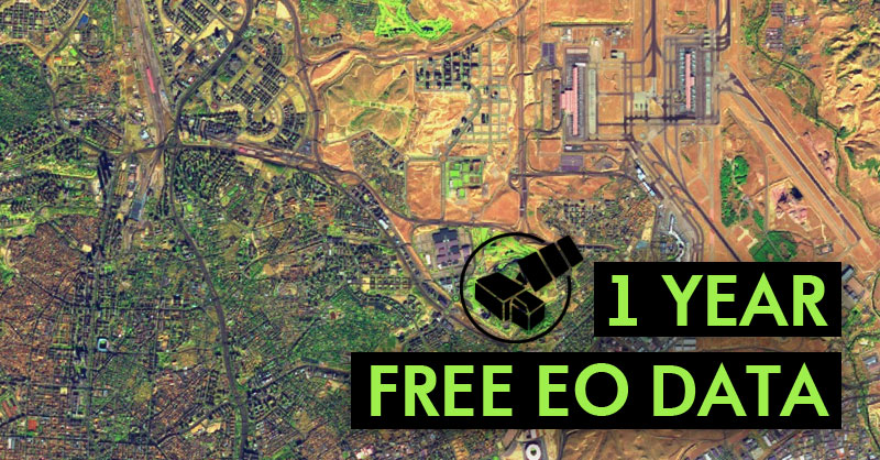
1 Year Free EO Data If you want to have free satellite images and other EO satellite products for free, you can get a free license fo...
Read More
ENVI 5.1 Download Link with Crack
Written By: Nurullah Opu ENVI combines advanced spectral image processing and proven geospatial analysis technology with a modern, user...
Read More
eCognition Developer 9.01, 64-bit Download Link With Crack
Written By: Nurullah Opu eCognition Developer is a powerful development environment for object-based image analysis. It is used in eart...
Read More
ILWIS || Integrated Land and Water Information System Download Link
Written By: Nurullah Opu Integrated Land and Water Information System (ILWIS) is a geographic information system (GIS) and remote se...
Read More
NDVI (Normalized Difference Vegetation Index)
NDVI Output Image What is NDVI (Normalized Difference Vegetation Index)? Normalized Difference Vegetation Index (NDVI) quantifies vege...
Read More
20 FREE Satellite Imagery Data Sources. Part-2
20 FREE Satellite Imagery Data Sources. Part-2 Most GIS and remote sensing specialists are oblivious of abundant websites that provide ...
Read More
Subscribe to:
Posts
(
Atom
)

